Residents encouraged to provide feedback on draft Maui County wetlands map : Maui Now
[ad_1]
Maui County residents are encouraged to review and comment on the County of Maui Department of Planning draft wetlands overlay map during a 30-day period starting today through May 15. The draft can be found at https://tinyurl.com/57xkpuj2.
Comments from the community will be used to finalize the map, which will be submitted for review to the Planning commissions, Maui County Council, conservation planning committee and the director of Public Works no later than June 30, 2024.
The final wetlands map will serve as a public tool that will help reduce flood risk for human life and property while protecting and restoring Maui County’s important natural wetland ecosystems. Also, it will help property owners, land managers and county planners with important land-use decisions.
“Part of the Planning Department’s kuleana is to protect and restore wetlands in Maui County,” Planning Director Kate Blystone said. “This wetland overlay map will serve as a tool for our County planners to determine where wetlands are located on Maui, Molokaʻi and Lānaʻi – an important first step in the department’s permitting process that leads us to conservation of these sensitive habitats.”
The Department of Planning, the University of Hawaiʻi Sea Grant Program and consultant H. T. Harvey & Associates held numerous discussions and site visits with agencies and community groups on Maui, Molokaʻi and Lānaʻi before preparing the draft wetlands overlay map. The outreach is part of the effort to restore and protect wetlands, outlined in Maui County Code Chapter 19.47.
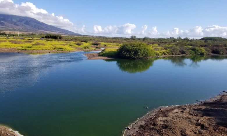
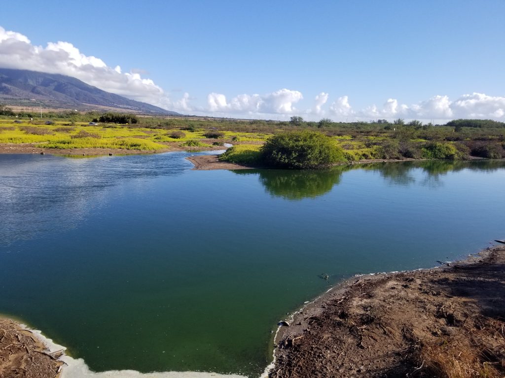
The draft map shows approximate locations of wetlands throughout the county and includes potential future wetland areas, which are derived by assessing passive flooding data that incorporates the effects of climate change, such as sea level rise.
The final map is intended to be a living document that can be amended and improved over time with the latest science, and continuing input from the community.
For details on the Wetlands Restoration and Protection Project, visit www.mauicounty.gov/planning.
[ad_2]
Source: Maui News